
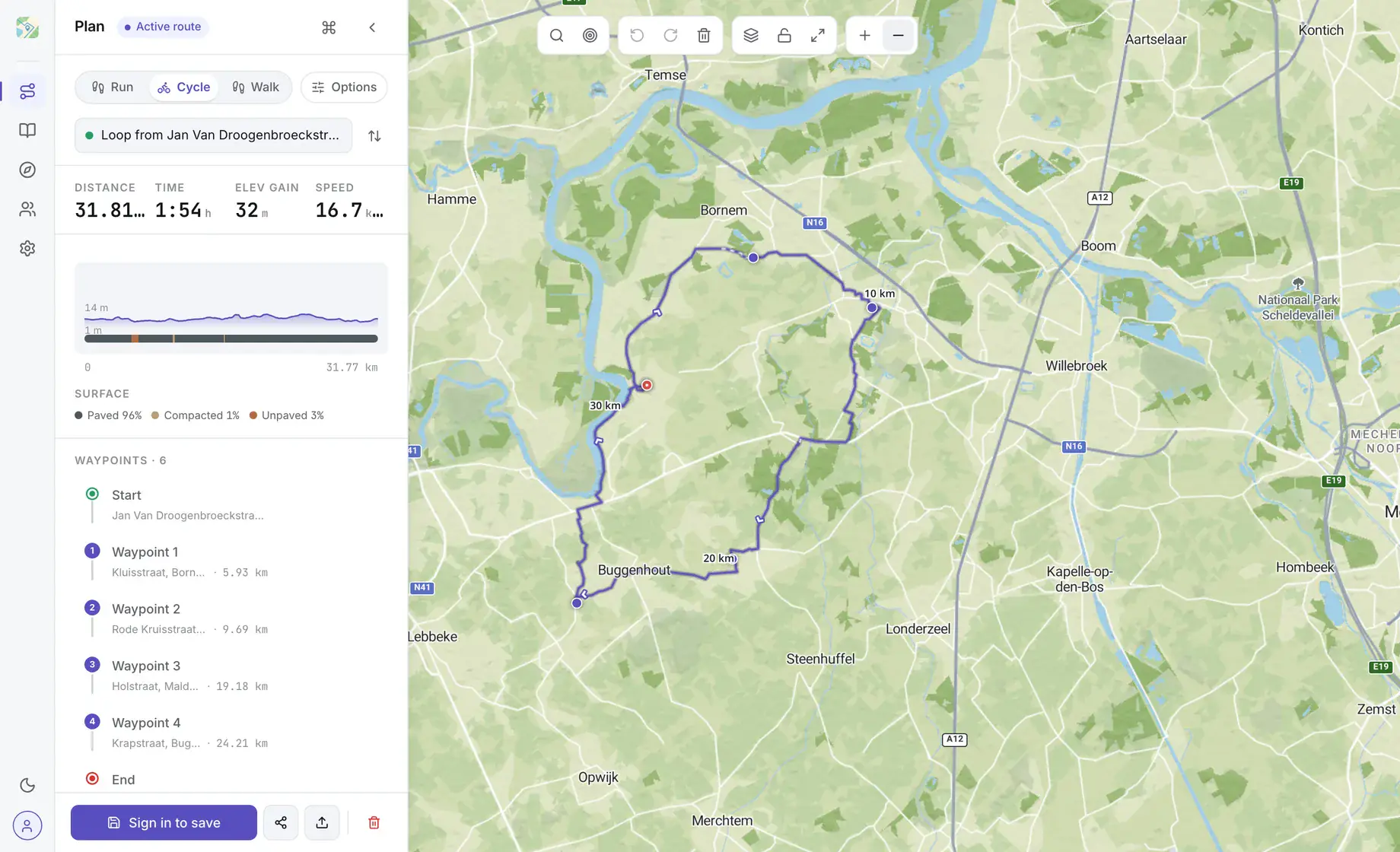
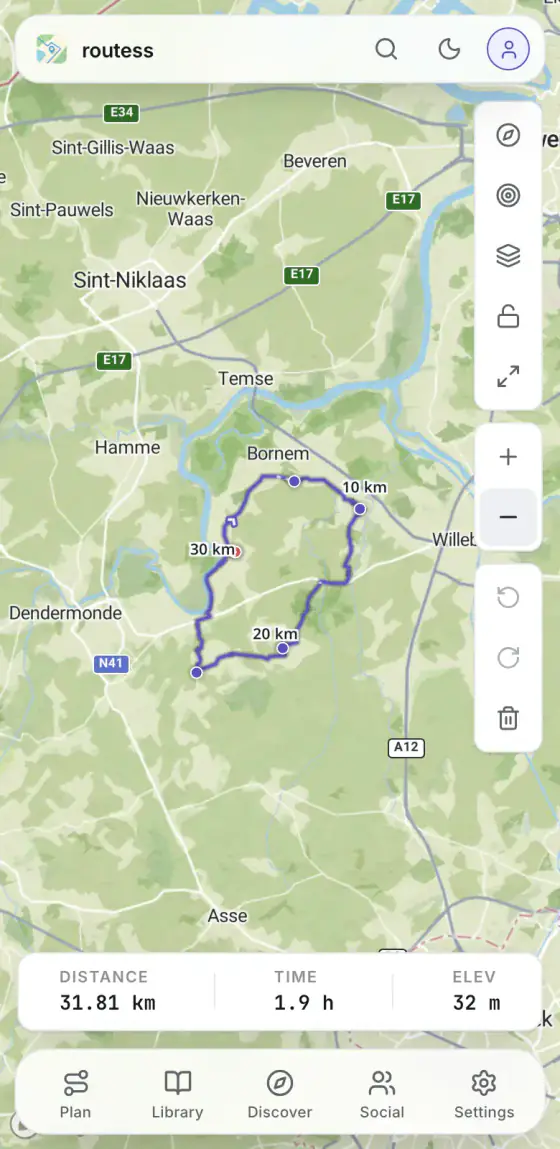
Drop pins. Get a route.
A tiny version of the real planner. Click anywhere on the map to add a waypoint, the path snaps along the way.
One route. Any map.
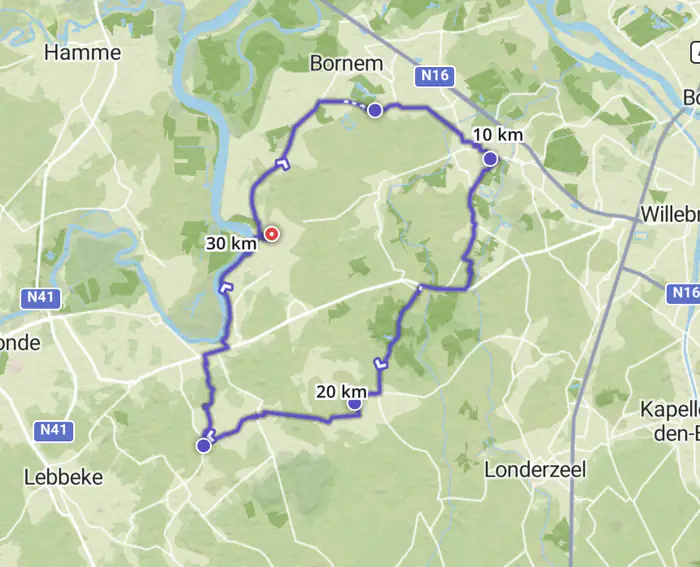
Streets for the city, outdoors for contour lines and trails, satellite for checking whether that gravel is actually gravel. And every style has a dark theme for planning after sunset.
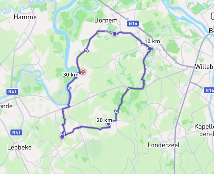
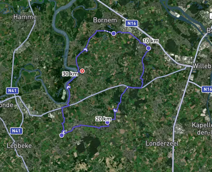
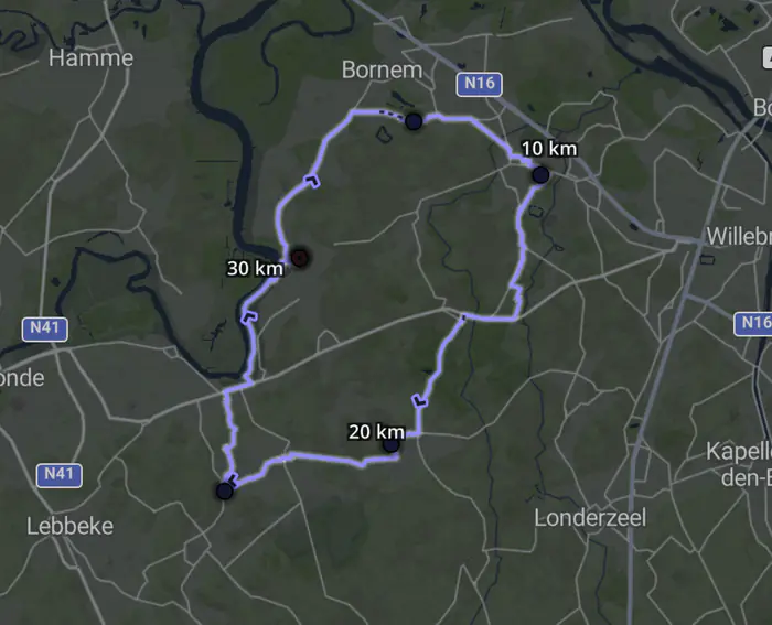
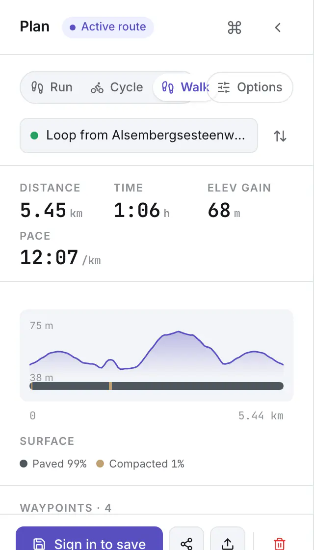
Don't know where to go? Generate one.
Pick a start point, a distance and a direction, and Routess builds a real route for you, on surfaces you'd actually want to ride or run on.
- Loop or A→B, your call
- Target distance, give or take; pick a direction for loops
- Surface preference: paved · mixed · unpaved
- Prefer knooppunten: follow numbered node networks where they exist
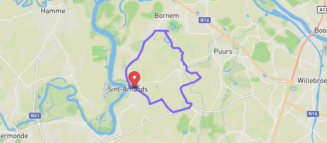
Your routes, found again.
Save what you plan. Share a link, drop a GPX, or open a friend's route in one tap. The library stays organised even when you forget where you went.
My routes · 4
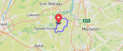
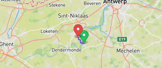
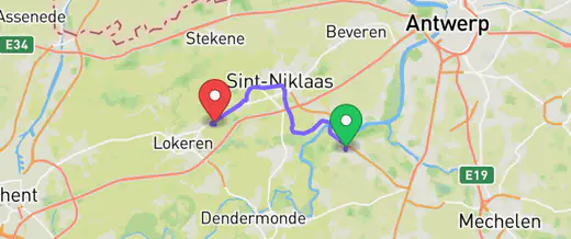
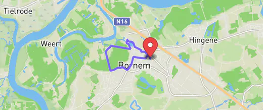
Browse routes others have plotted in your area, with photos, surface data, and an "actually fun" rating.
Plan at your desk. Follow it on the road.
The same planner works on your phone, so the route you plotted on Sunday evening is in your pocket on Monday morning. And your routes are never locked in.
- Works as an app on your phone, no app store needed
- Export GPX to your watch, head unit, or computer
- Import GPX from friends, Strava, or anywhere else
Start free. Go further when you want to.
Planning, GPX and sharing are free, forever. Pro adds knooppunt routes, navigation, collections, CLI access and unlimited saved routes: one payment for a full year, no subscription, nothing to cancel.
- Unlimited route planning
- 3 generated routes a day, signed in
- GPX import & export
- Save up to 5 routes
- Public route sharing
Had an account before Pro launched? You get 3 months of Pro, on us, the next time you sign in.
Built in the open. Yours to fork, host, or extend.
An API, a CLI, a Helm chart, a Docker image, and source you can read. For the dev-curious, there's a separate page just for you.